


Services
We offer an extensive suite of services that spans GIS, mapping, data analytics, and agricultural watershed modeling. Our expert team leverages the latest spatial data science technologies and innovative methodologies to design customized solutions that empower you with actionable insights for strategic decision-making and helping you achieve your business objectives.
Training
We offer comprehensive training and instruction services that cover project management and support. We provide training on the latest GIS and remote sensing software, and offer workshops on data analysis and visualization techniques. Our experts provide ongoing support and project management services to ensure that our clients' projects are completed on time and within budget. We also offer technical support services to help our clients with any issues that arise during their projects.
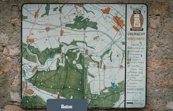
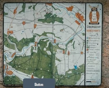
Cartography & Custom Maps
We use state of the art mapping software and techniques to produce maps that are tailored to your specific needs. Whether you need a map for a new development project, a marketing campaign, or a research project, we can create a map that meets your requirements. We can also provide geographic analysis and data visualization services to help you make informed decisions based on your map data.


Spatial Data Infrastructure
We help our clients to build robust spatial data infrastructure that facilitates efficient data management, storage, and retrieval. Utilizing the latest technologies and best practices, we craft scalable, high-performance databases capable of handling complex spatial data. Furthermore, we provide ongoing support and maintenance services to ensure the currency and security of your database.
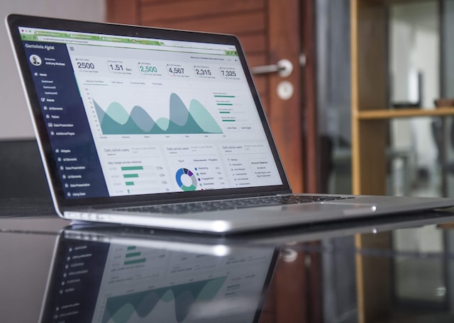
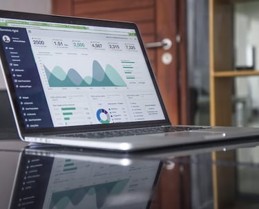
Data Analysis & Visualization
Our team has expertise in the field of machine learning, encompassing supervised, unsupervised, neural network, and deep learning models. Additionally, we excel in automating workflows through scripting, optimizing data analysis and visualization procedures. Our professionals leverage cutting-edge tools and techniques to dissect data, reveal invaluable insights, and offer recommendations to facilitate well-informed decision-making. We also create visually appealing data visualizations that help our clients to understand complex data and communicate their findings effectively.


Data Collection & Edit
We offer comprehensive data collection, editing, and quality assurance/quality control (QA/QC) services. We use advanced ETL processes to load data from various large dataset sources, and provide data-driven forms for data capturing and editing. Our experts use the latest tools and techniques to ensure data accuracy and completeness, and provide comprehensive QA/QC reports to help our clients make informed decisions based on their data.
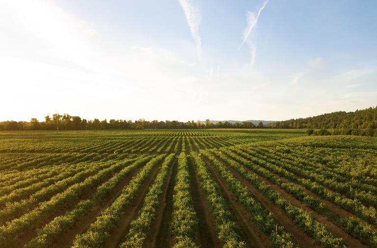
Agriculture & Environmental Modeling
Our team has extensive experience in rangeland management, animal nutrition and production, apiculture, and feed manufacturing. We provide agricultural watershed and environmental modeling services that help our clients optimize their operations and reduce their environmental impact. Our experts use advanced modeling software to simulate the impact of different management practices on the environment, and provide recommendations for sustainable practices that promote environmental stewardship.


Remote Sensing Image Processing
By processing and analyzing remote sensing data, we translate complex information into actionable insights for informed decision-making. We are committed to assisting clients in unlocking the full potential of remote sensing data to solve real-world challenges and contribute to a sustainable future. From data preprocessing and image enhancement to feature extraction and geospatial analysis, we transform raw remote sensing image data into actionable insights for various applications including environmental monitoring, disaster assessment, and urban planning.
Interactive Web Maps
We create interactive web maps, including story maps, dashboards, using the latest web GIS and mobile application technology. Our experts use the latest tools and techniques to create visually appealing maps that help our clients to communicate their data effectively. We also provide ongoing support and maintenance services to ensure that our clients' web maps remain up-to-date and secure.