


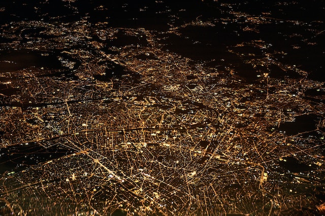
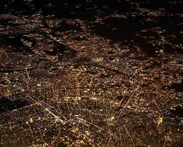
Remote Sensing Image Processing
By processing and analyzing remote sensing data, we translate complex information into actionable insights for informed decision-making. We are committed to assisting clients in unlocking the full potential of remote sensing data to solve real-world challenges and contribute to a sustainable future. From data preprocessing and image enhancement to feature extraction and geospatial analysis, we transform raw remote sensing image data into actionable insights for various applications including environmental monitoring, disaster assessment, and urban planning.